Photo credit: Paul Sullivan
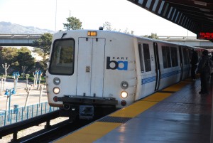
Ground transportation assets in the Bay Area are vast and include all the region’s major bridges (the San Francisco-Oakland Bay Bridge; the Hayward-San Mateo Bridge; the Richmond-San Rafael Bridge; the Dumbarton Bridge; the Carquinez Bridge; the Benicia Bridge); interstates (101, 280, 80, 380, 580, 780, 880 and 980) and state routes (1, 12, 13, 14, 23, 24, 29, 35, 37, 84, 92, 61, 113, 116, 121, 131, 185, 237, 238); freight rail lines (UPRR, BNSF, CNPR); passenger rail (Caltrain, Amtrak, SMART, VTA, MUNI); Bay Area Rapid Transit; Bay Area ferry terminals; Bay Area bus routes; arterials, collectors, and local streets; the San Francisco Bay Trail. Additionally, this network relies on a supporting system of electric and communication utilities, parking lots, depots, and maintenance yards. All of these assets could be affected by: changes in daily tide levels; storm events that cause larger, longer, and more damaging floods; and elevated groundwater levels. Damage or disruption of transportation systems in the Bay Area could have serious and significant consequences on commuter and goods movement, public health and safety, and quality of life in the region.
Key Findings
Many of the ground transportation assets in the Bay Area are vulnerable to sea level rise and storm events because many are located near the shoreline. In many cases, transportation infrastructure along the shoreline also serves as de facto shoreline protection for communities located behind it. Understanding the underlying causes and components of these vulnerabilities is challenging because most planning data (e.g., storm drain and bridge crossing locations) are not readily available to the public, and design and survey data (e.g., structure elevation information) are not easily accessible to asset managers, for example through searchable, system-wide, centralized databases.
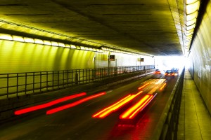
Photo credit: Thomas Hawk
Temporary flooding of vulnerable sections of interstate and state highways may not cause permanent asset damage but will have potentially significant consequences on both goods or commuter movement and access for emergency responders as there is a lack of alternate routes with adequate capacity to serve all of the traffic needs.
Rail lines within and beyond the Bay Area are vulnerable to sea level rise and storm events. In general, rail is highly sensitive to even small amounts of water on the tracks, and if a portion of track is damaged it often results in the closure of many miles of connected track. The region’s capacity to withstand impacts to rail infrastructure is further hampered by the lack of redundant or alternative rail lines in the region. Relocating or adding new rail infrastructure, is costly and significant time and money are needed for planning, financing and implementing changes to the region’s rail network. Disruption of the rail system would lead to an increase in the number of trucks needed to transport cargo, having negative and widespread effects on road congestion, air quality, and community noise and quality of life.
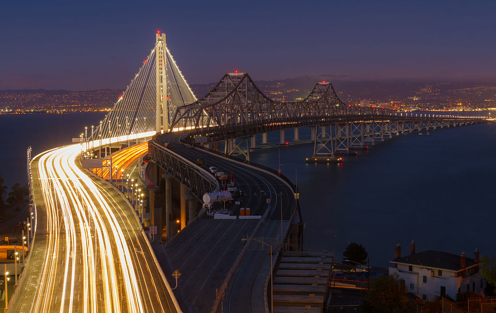
Photo credit: Frank Schulenburg
The Bay Trail is highly vulnerable to sea level rise and storm event flooding due to its construction and location along the shoreline. Erosion, poor drainage, and surface damage can all result in lengthy closures. Consequences of temporary or permanent closures along portions of the trail can be significant because it functions as a system of interlinked pathways for recreation and non-motorized commuting. Adaptive measures can be taken, such as building with different types of materials, improving drainage, and using boardwalks and bridges, but at some point these will become ineffective. Loss of connected Bay Trail segments could result in more people driving rather than walking or bicycling to their destinations and reduced shoreline access opportunities in general and, in particular, for people with disabilities or reduced mobility.
Project Findings and Materials
- ART Bay Area Transportation Assessment Summary

- Profile Sheet: Ground Transportation
- Existing Conditions and Stressors: Ground Transportation
- Ground Transportation Briefing Book
- Vulnerability and Risk: Ground Transportation
- ART Alameda County Adaptation Responses for Transportation
- ART Contra Costa County Transportation Chapter
- ART Contra Costa County Transportation Mapbook
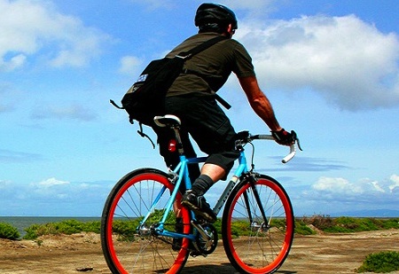
Photo credit: Richard Masoner

For more information:
- Todd Hallenbeck
- Todd.Hallenbeck@bcdc.ca.gov
- 415-352-3667