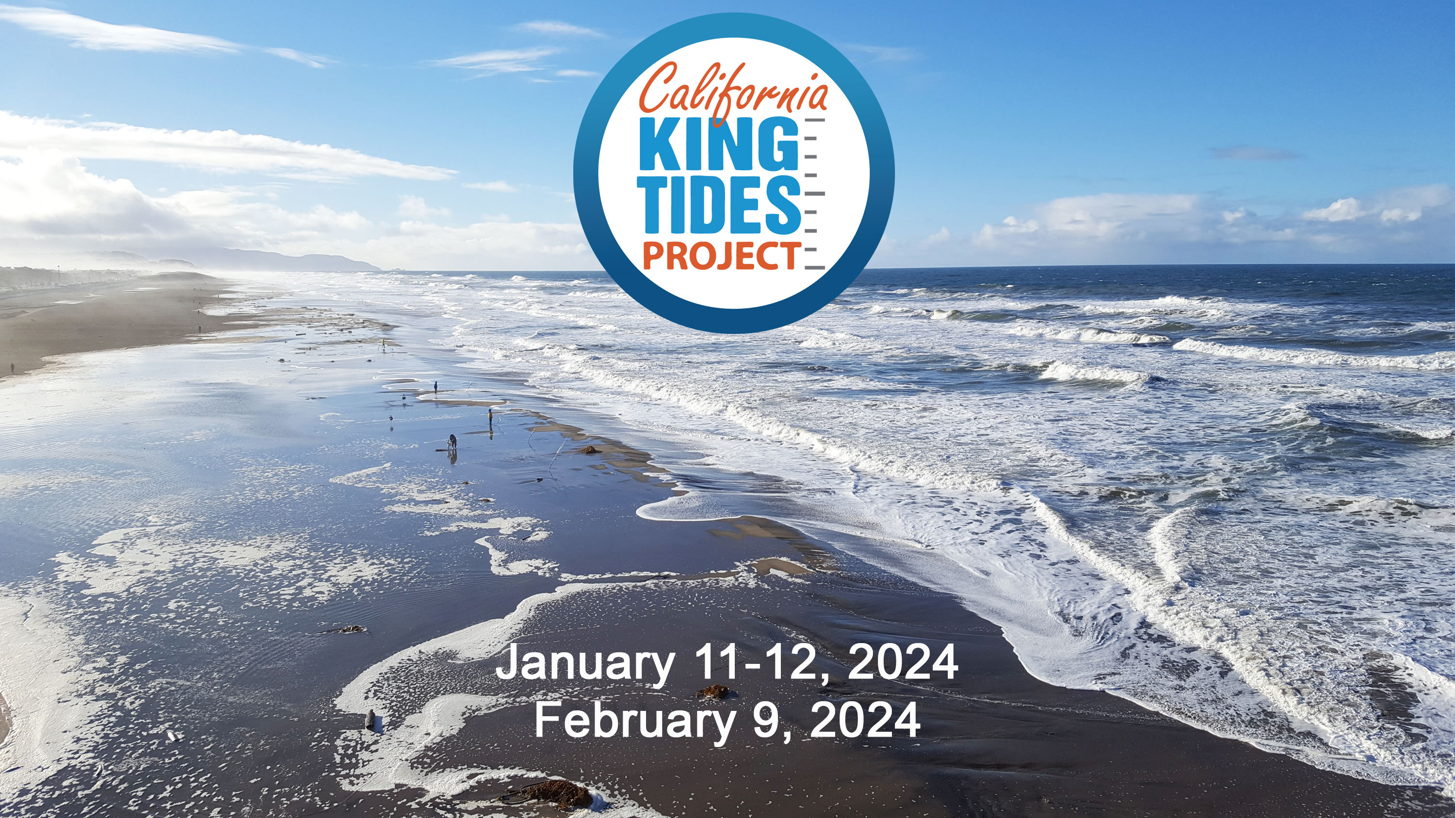
Visualize rising sea levels by exploring the Bay Area’s highest tides of the year, documented through the King Tides Project. Every year, BCDC partners with California Coastal Commission to gather photos of King Tides. King Tides are exceptionally high tides that typically occur several times per year during a new or full moon and when the earth is closest to the moon. They occur several times a year and cause water levels to increase as much as 12-inches above normal high tide. Low lying sections of our shoreline experience temporary flooding during these King Tide events. The increasing impacts of King Tides show us what permanent sea level rise might look like for communities around the Bay.
Help us document areas of flooding during King Tides using the Coastal Commission’s instructions here. Photos taken in the Bay will be added to our map. Explore past King Tides photos taken in the Bay! Access BCDC’s King Tides Project High Tide Photo Viewer.
Project Status
The King Tides Project has been underway since 2018 and gets updated every winter as King Tides come to the Bay.
Findings and Materials
BCDC’s King Tides Project High Tide Photo Viewer is the best way to explore King Tides photos. If you’d like to see photos from the entire California Coastline, visit the Coastal Commission’s Photo Viewer.
Related Projects
Project Partners
Project partners consist of the ART team at BCDC and Coastal Commission’s Mapping and Education Programs.