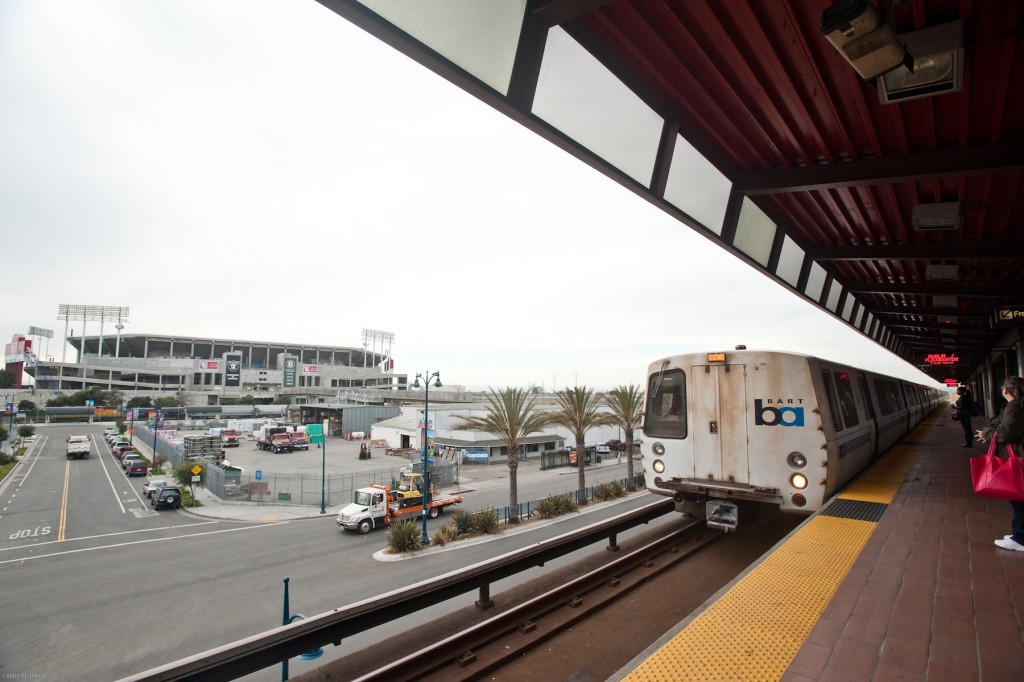
BART Oakland Coliseum Station. Photo credit: BART.
As part of the ART Subregional Project in Alameda County, transportation assets, including streets, roads, highways, light and heavy rail, bus routes, and bike/pedestrian ways were evaluated, demonstrating that ground transportation vulnerabilities could result in wide-spread consequences on local communities, the region, and beyond.
Within the overall project area, three focus areas were selected for further planning because they were flagged as highly vulnerable during the assessment, and because critical regional transportation assets are interwoven with important regional and community assets, where solutions will need to be coordinated to achieve resilience.
- San Francisco – Oakland Bay Bridge Peninsula – ‘Bay Bridge Touchdown Focus Area’
- Oakland Coliseum Area – ‘Coliseum Focus Area’
- State Route 92 Corridor – ‘Hayward Focus Area’
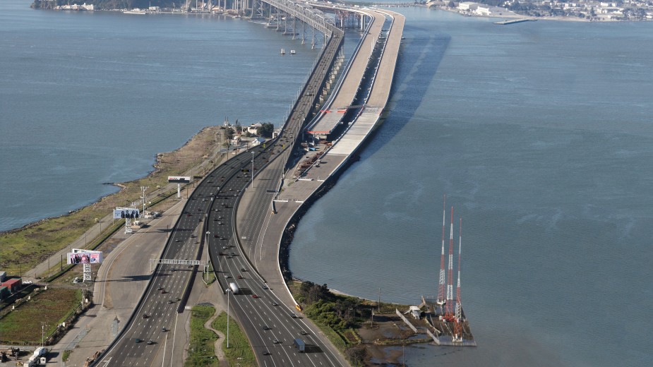
Westbound Oakland Touchdown of the Bay Bridge. Photo credit: baybridge.org
Transportation assets in the three focus areas include the Coliseum area multi-modal hub, I-880, State Route 92, two critical bridges (the San Francisco-Oakland Bay Bridge and the San Mateo-Hayward Bridge), arterial and collector streets, BART, and passenger and freight rail lines. These transportation assets are surrounded by a diversity of land use and community assets, including a wastewater treatment plant, regional parks and neighborhood businesses among others, that can benefit from adaptation strategies.
Lessons from these focus area planning efforts will help resolve vulnerabilities in these areas, and can be applied more broadly throughout the region.
Project Status
The first part of the project, the subregional assessment, was completed in November 2011. The second phase, a refinement of the assessment in three focus areas, and the development of adaptation actions and implementation options, was completed in December 2014.
Findings and Materials
ART Subregional Project Transportation Assessment (November 2011): Technical Report ![]() & Briefing Book
& Briefing Book ![]()
Climate Change and Extreme Weather Adaptation Pilot Project (December 2014): Technical Report ![]()
Project Partners
The Metropolitan Transportation Commission (MTC), the San Francisco Bay Conservation and Development Commission (BCDC) ART Program, the California Department of Transportation District 4 (Caltrans) and San Francisco Bay Area Rapid Transit District (BART) partnered to conduct the initial transportation assessment and subsequent focus area planning. The ART Program’s focus on ground transportation was funded, in part, by the Federal Highways Administration and MTC.

For more information:
- Todd Hallenbeck
- Todd.Hallenbeck@bcdc.ca.gov
- 415-352-3667