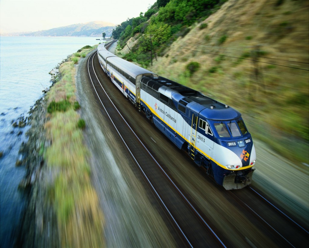
Photo credit: Capitol Corridor Joint Powers Authority
The Capitol Corridor Joint Powers Authority (CCJPA) conducted the assessment using the ART approach to adaptation planning Planning Process and focused on six focus areas along the train service route: Suisun/Fairfield, Martinez, Point Pinole, Oakland, Oakland Coliseum, and Alviso/Santa Clara Great America. Assets evaluated in these hotspots include railroad tracks, bridges, the signal system, a maintenance facility, and train stations that serve the Capitol Corridor route. As a result of the assessment, CCJPA now has a better understanding of the vulnerabilities of rail operations and service to the sea level rise impacts, and the assessment will lead to identification of appropriate sea level rise adaptation responses from a planning perspective.
Project Status
The vulnerability assessment began in August 2013 and was completed in August 2014. The CCJPA has since started reaching out to internal and external partners, and exploring regional collaborative adaptation options.
Findings and Materials
Capitol Corridor Joint Powers Authority Sea Level Rise Vulnerability Assessment ![]()
Project Area Inundation Map ![]()
Project Partners
This assessment was conducted by the Capitol Corridor Joint Powers Authority (CCJPA) with technical guidance and support from the San Francisco Bay Conservation and Development Commission (BCDC) ART Program staff. CCJPA staffing of the project was made possible through the support of the Climate Corps Bay Area Fellowship program.

For more information:
- Todd Halenbeck
- Todd.Hallenbeck@bcdc.ca.gov
- 415-352-3667