The ART Subregional Project revealed that certain “focus areas” need further assessment due to their early exposure and critical vulnerabilities. This led to the Oakland/ Alameda and Hayward studies.
The purpose of the Hayward Shoreline Resilience Study was to develop a long-term, multi-objective vision for multiple assets and agencies, and to initiate coordinated planning for implementation.
For the study, ART Program staff convened a working group made up of the City of Hayward, East Bay Regional Park District, Hayward Area Recreation and Park District, East Bay Dischargers Authority, Union Sanitary District, California Coastal Conservancy, Alameda County Flood Control Water Conservation District, Caltrans and Bay Trail staff members. Through the planning process, ART Program staff and these working group members were able to build from the Alameda County ART Project outcomes to assess the local and asset-specific vulnerabilities and understand how they fit together and interact on the landscape of the study area and beyond.
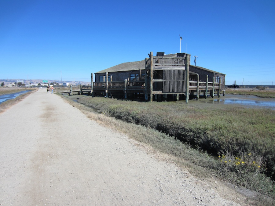
Hayward Shoreline Interpretive Center. Photo credit: BCDC.
This comprehensive understanding of the landscape-scale issues helped the working group develop relevant adaptation responses for the study area, and to begin to wrestle with the implementation challenges inherent in the multi-objective, cross jurisdictional planning that will be required to address the vulnerabilities in the study area.
The actions proposed in this study reflect place-based opportunities and constraints. The Hayward shoreline is very low-lying and there is little high ground to retreat to, but it also has more open space and wetland than many parts of the region.
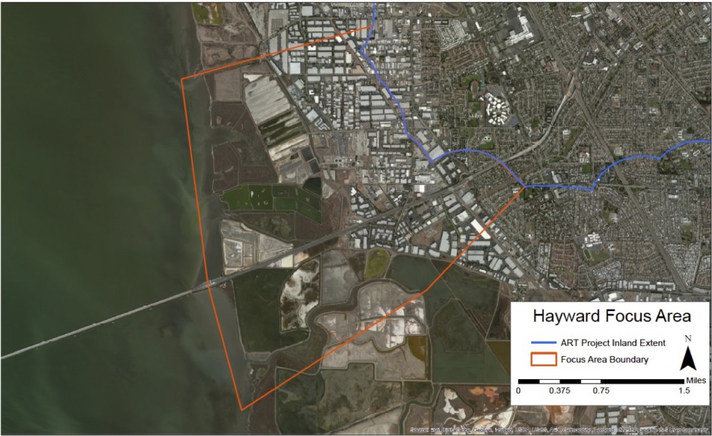
Map of Hayward Shoreline Resilience Study project area.
As part of the assessment, the ART Program refined the shoreline analysis for the study are and tested a “total water level” approach to simplify the analysis of exposure to temporary and permanent inundation with future sea level rise and storm scenarios. This approach is now being applied to other ART projects.
Project Status
The study ran from September 2013-September 2014. Materials were completed in January 2015, and ART Program staff continues to work with asset managers in the area to advance the findings and recommendations from the study.
Findings and Materials
The study report describes the study area-scale vulnerabilities and landscape-scale adaptation responses that were developed. Detailed findings for specific assets in study area are summarized in profile sheets.
Hayward Shoreline Resilience Study Report ![]()
Asset Vulnerability and Risk Profile Sheets ![]()
Refined shoreline analyses in the study area:
Hayward Focus Area Refined Shoreline Analysis: Technical Memo ![]()
ART Portfolio: Findings by Issue > Evaluating Exposure to Impacts
Project Partners
This project was conducted by the San Francisco Bay Conservation and Development Commission (BCDC) ART Program staff.

For more information:
- Jackie Mandoske
- Jaclyn.Mandoske@bcdc.ca.gov
- 415-352-3631