The ART Subregional Project revealed that certain “focus areas” need further assessment due to their early exposure and critical vulnerabilities. This led to the Oakland/ Alameda and Hayward studies.
The project led by the ART Program and conducted in partnership with the Association of Bay Area Governments Resilience Program, assessed resilience in the Oakland International Airport, the Oakland Coliseum, the East Oakland neighborhoods around the Coliseum and Bay Farm Island. In the project, ART Program team and partners assessed vulnerabilities, risks and mitigation opportunities for multiple hazards – earthquakes, sea level rise, and flooding – that threaten the people, facilities, infrastructure, and community services. The project area has significant infrastructure and community assets at risk due to its location on the shoreline, low-lying topography, underlying bay fill, and other loose soils that are susceptible to liquefaction.
By considering multiple hazards, this study responds to working group member interests in developing approaches to vulnerability assessments and adaptation strategies that address both seismic and flooding risk. The multiple hazard approach also identifies efficiencies, for example where data and information necessary to understand one hazard can be used to inform another, and simplifies and streamlines the planning process for stakeholders by seeking their participation in a single project that addresses multiple hazards.
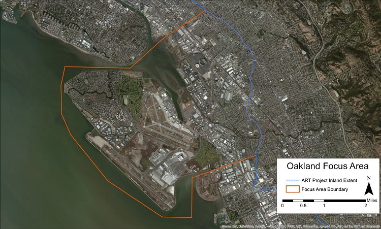
Map of the Oakland/Alameda Resilience Study project area.
An integrated planning process also provides important insights into how adaptation and risk mitigation strategies for one hazard may be modified to address another, and may uncover where an action to mitigate one hazard could exacerbate the risk from a different hazard.
The study examined the relationships among assets within the project area, as well as their relationships to those assets and services outside the project area. This analysis of dependencies and inter-dependencies takes the project further than traditional hazard mitigation planning by considering secondary vulnerabilities caused by these relationships, and by evaluating the regional consequences of disruptions to local infrastructure and community assets.
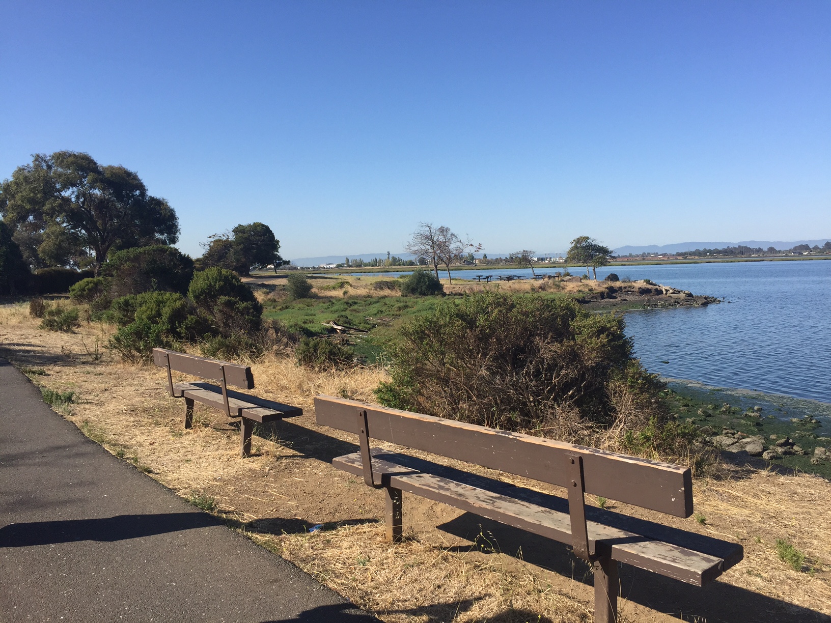
View of San Leandro Bay and Bay Farm Island from the east shore of MLK Jr Regional Shoreline. Photo credit: BCDC
Project Status
The study began upon the completion of the larger Alameda County ART project and the project and final materials were completed in August 2016. ART staff continue to work with the communities and asset managers to advance the findings and recommendations in the study. Visit the Oakland/Alameda meetings page for project presentations and find out more about the study process.
Findings and Materials
Project Overview![]()
Oakland/Alameda Resilience Study Final Report![]()
Oakland/Alameda Asset Profile Sheets and Adaptation Responses![]()
Bay Farm Island Focus Area Technical Memo ![]()
Oakland Coliseum – Damon Slough/Arroyo Viejo Creek Technical Memo![]()
Project Partners
The San Francisco Bay Conservation and Development Commission (BCDC) ART Program and Association of Bay Area Government (ABAG) Resilience Program have partnered to conduct this study.

For more information:
- Todd Hallenbeck
- Todd.Hallenbeck@bcdc.ca.gov
- 415-352-3667