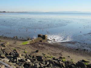
Photo credit: BCDC
The vulnerability of stormwater and flood control management systems to sea level rise and storm events depends on their current storage and flow capacity, the elevation and location of their outfalls, and whether they are gravity drained or pumped. It is difficult to fully assess the vulnerability of stormwater systems to sea level rise and storm events because of gaps in critical data (e.g., elevation of inlets and outfalls) and understanding of current and future capacity.
Key findings
Improvements to the stormwater system as a whole will require collaboration and coordination among cities, property owners, and flood control managers. However, there is no framework currently in place for a comprehensive, watershed-based stormwater and flood control management program. Sea level rise and future storm event impacts will only increase the need for this kind of shared decision making. In addition, the limited ability of cities, counties and districts to raise revenues for spending on stormwater and flood management systems will continue to prevent improvements – many of which are needed today to address systems that are currently undersized or have had maintenance issues deferred.
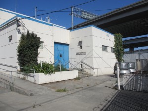
Photo credit: BCDC
Because each city, county, and facility may separately own and operate their stormwater management systems, system condition and information available vary significantly by site and city. There are significant data gaps among systems, conditions, and management, which are compounded when looking at the regional scale.
In ART Bay Area, the Adapting to Rising Tides team has partnered with the Natural Capital Project to characterize stormwater mitigation and flood retention using ecosystem service models as a first step towards regionally assessing stormwater and flood control.
There are several local efforts to assess the sea level rise vulnerability of municipal stormwater systems throughout the region:
- Marin County C-SMART, Collaboration: Sea-Level Marin Adaptation Response Team. This project considered stormwater as part of a grouped “Utilities” asset category and estimated tidal and extreme event flooding depth using Our Coast Our Future sea level rise data to assess vulnerability to temporary flooding, inundation at mean higher high water, erosion, water table changes, saltwater intrusion, and wave surge. Stormwater asset information was gathered via asset manager interviews and Marin Map, the county’s GIS database that has some data on culverts, manholes, and roadside ditches.
- ART Contra Costa County, City of Richmond Stormwater. This project capitalized on a city-conducted assessment to determine which components of the stormwater system assets are at risk from 6 feet of sea level rise or have their lowest point (invert elevations) below 6 feet above current sea level. The assessment looked at key vulnerabilities and consequences to the city’s 7,282 combined stormwater assets (collection devices, manholes, weirs, outfalls, storm gates, and pump stations). Of these, 842 are potentially affected by, or have an invert elevation below, 6 feet of sea level rise. Assets with the highest percentages of risk include outfalls (58%), storm gates (56%), and pump stations (58%).
- BayWAVE, Marin Bay Waterfront Adaptation Vulnerability Evaluation. This project plans to engage Marin County’s Stormwater Program agency staff in program development for focused vulnerability assessment of the eastern Marin shoreline from Sausalito to the northern end of Novato. This program will look at the extent of assets impacted, assess the sensitivity and adaptability of selected assets, and work with local cities and towns to plan implementation and adaptation strategies.
- ART Alameda County Project. This project considered stormwater as part of the “Utilities” asset category, which included energy, pipelines, telecommunications, stormwater and wastewater. The assessment finding acknowledged a lack of detailed, easily accessible, and well-coordinated information about ownership, location, and condition of energy, pipeline, telecommunication, and stormwater infrastructure. Some data on pump stations and outfalls were available, but with varying management levels and a lack of information on the elevation of inlets and outfalls made it difficult to fully understand the vulnerability of the stormwater systems to sea level rise.
- SFPUC Sewer System Improvement Program & Capital Planning for Sea Level Rise. The San Francisco Public Utilities Commission is well underway implementing the Sewer System Improvement Program (SSIP), a 20-year, multibillion dollar investment to upgrade and modernize its aging and seismically vulnerable combined sewer system. Development of the SSIP included a detailed technical review of sea level rise vulnerability and development of guidelines for Sea Level Rise for Capital Planning. Adopted in 2015, the Guidance for Incorporating Sea Level Rise in Capital Planning now requires consideration of sea level rise into all San Francisco capital planning. In addition, the Levels Of Service goals for the SSIP directly relate to stormwater management, reduction of flood risk and adapting to sea level rise. You can find more information here: Guidelines for Incorporating Sea Level Rise in Capital Planning in San Francisco, or the SSI.
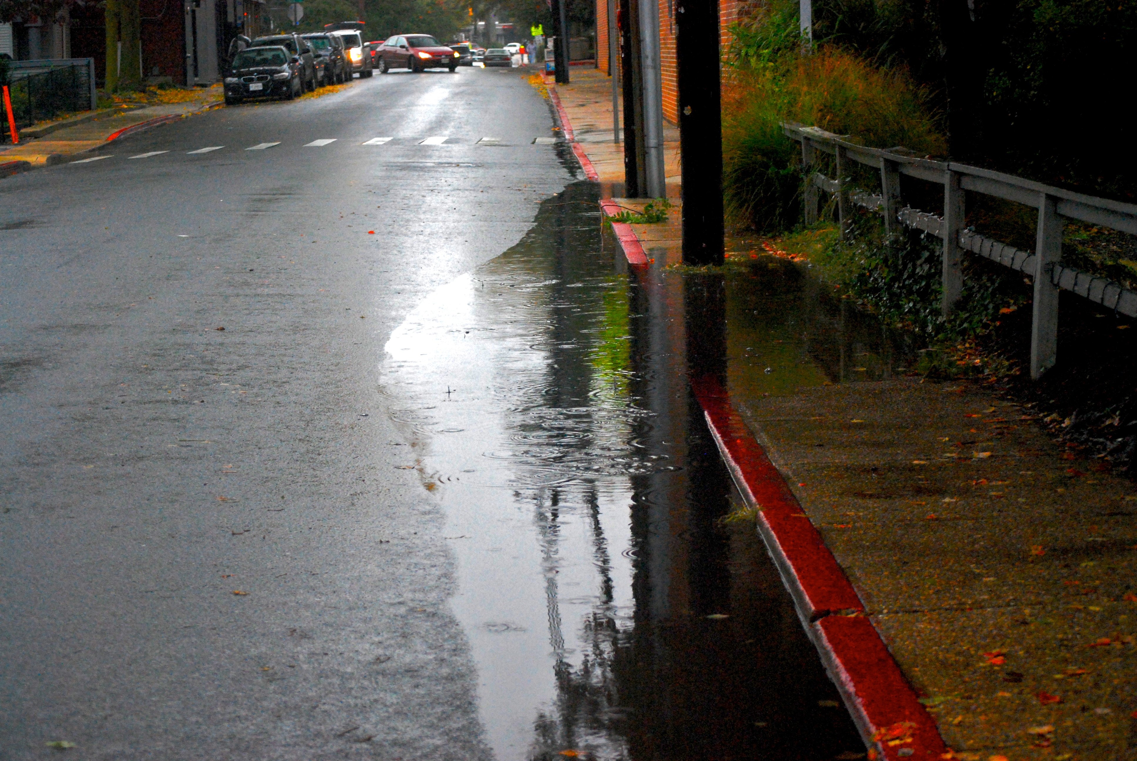
Photo credit: Chesapeake Bay Program
Project Findings and Materials

For more information:
- Samantha Cohen
- Samantha.Cohen@bcdc.ca.gov
- 415-352-3647