Building from the ART Subregional Project in Alameda County, the ART Program worked with East Bay Regional Park District (EBRPD) park managers and staff to take a closer look at shoreline parks in Alameda and Contra Costa counties. The project objectives were to develop a better understanding of park-specific vulnerabilities and consequences of flooding impacts, and to develop adaptation responses for both individual parks and the park district as a whole.
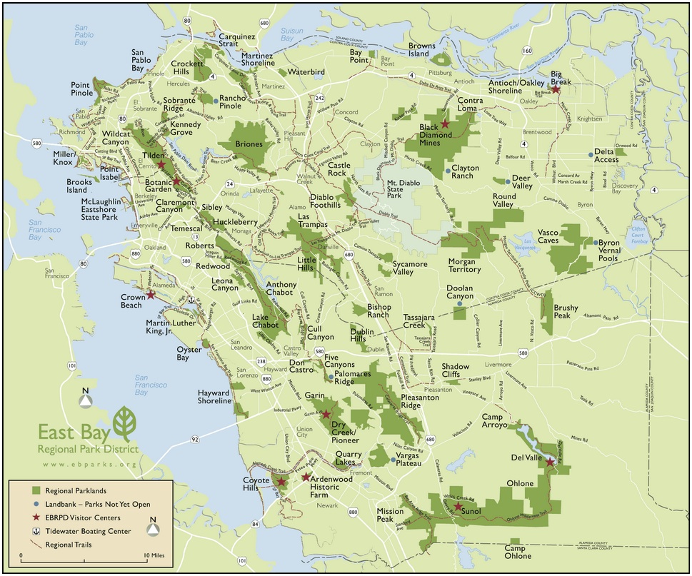
Map of East Bay Regional Parks. Click to view larger map.
Parks that were addressed in the project:
- Martinez Regional Shoreline
- Carquinez Regional Shoreline
- Lone Tree Point/San Pablo Bay Trail
- Point Pinole Regional Shoreline
- Miller/Knox Regional Shoreline
- Point Isabel Regional Shoreline
- Emeryville Crescent
- Crown Memorial State Beach
- Martin Luther King Jr. Regional Shoreline
- Oyster Bay Regional Shoreline
- Hayward Regional Shoreline
Project Status
The assessment ran from August 2012-August 2014. EBRPD and the ART Program continue to work together on various efforts.
Findings and Materials
Project Report: Preserving Shoreline Parks in the Face of Climate Change (40MB) ![]()
Appendix A: Maps ![]()
Appendix B: EBRPD Adaptation Responses (xls)
Project Partners
This assessment was conducted by the San Francisco Bay Conservation and Development Commission (BCDC) ART Program in partnership with the East Bay Regional Park District (EBRPD) Shoreline Units. ART Program staffing of the project was made possible through the support of the NOAA Coastal Zone Management Fellowship Program.

For more information:
- Nick Sander
- Nicolas.Sander@bcdc.ca.gov
- 415-352-3625