Photo credit: BCDC
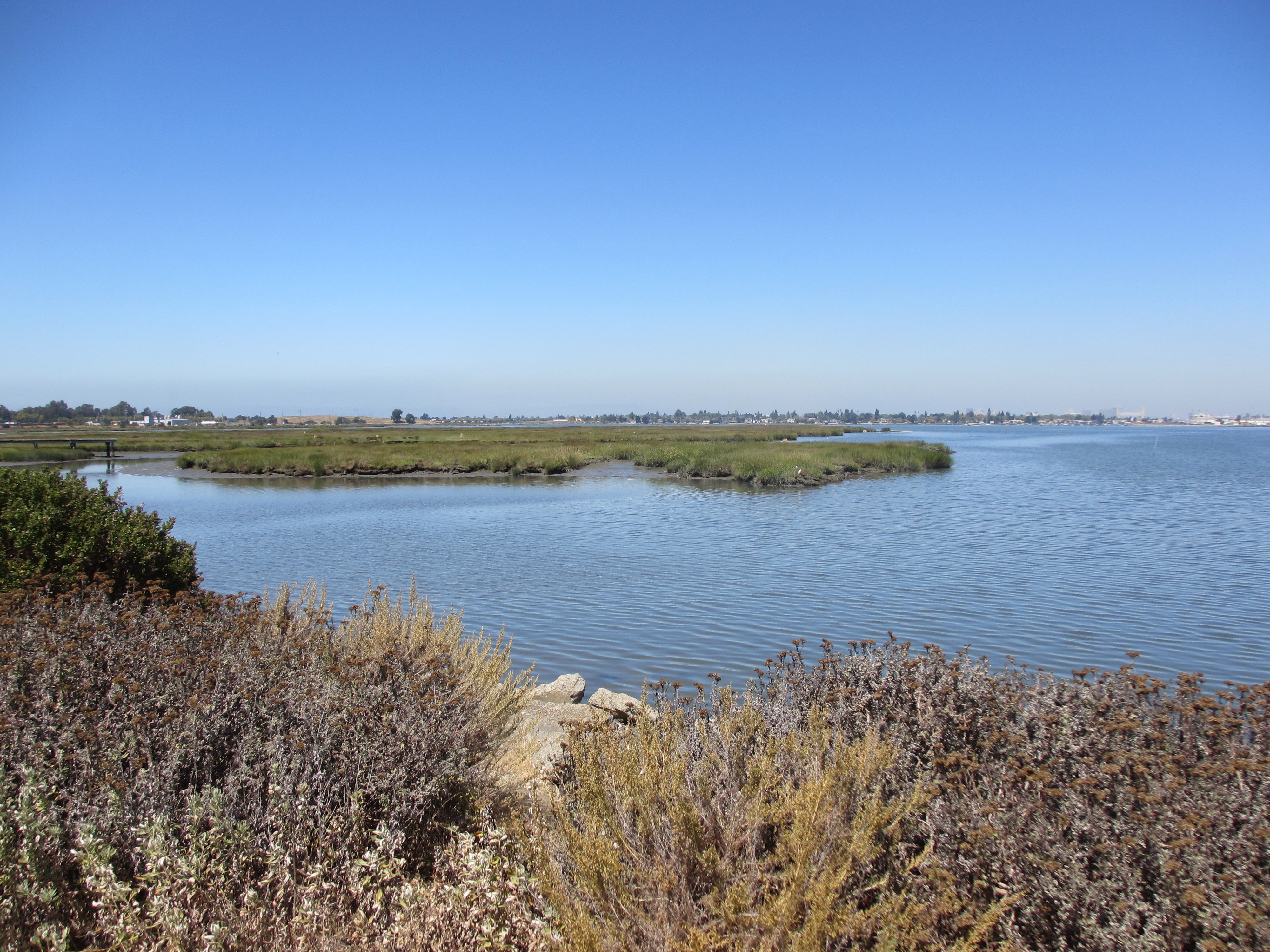
Natural areas along the shoreline and beyond provide habitat to a number of state and federally-listed threatened and endangered species as well as for migrating and wintering birds that rely on habitat for breeding, foraging, and for high tide refugia. Additionally, these habitats provide opportunities for the public to view this wildlife while enjoying the scenic shoreline and open spaces. Loss of these natural areas would result in a loss of ecosystem function for wildlife and also loss for the people who appreciate the beauty of these areas and use them for recreation.
Key Findings
Currently, the ART Bay Area project is evaluating natural areas within and beyond the Bay Area’s Priority Conservation Area (PCA) network. The PCA network is part of Plan Bay Area, the nine-county’s long term sustainable housing and transportation plan. PCAs encompass a wide variety of natural areas including bayside wetland complexes, urban ecosystems, creeks and recreational trails, and large agricultural watersheds. PCAs are designed to prevent urban sprawl and protect these open spaces and ecosystems. The goals of a PCA vary but include protecting and enhancing terrestrial and aquatic ecosystems that provide habitat for wildlife, improving water quality and supply, enhancing climate resilience, promoting urban greening, and improving community health and public recreation opportunities.
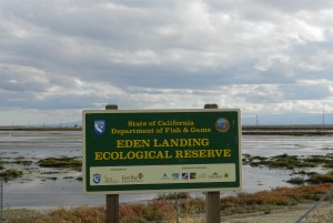
Photo credit: Mercurywoodrose
Partnering with the Natural Capital Project, ART Bay Area will quantify the ecosystem service benefits provided by PCAs and how those services and benefits may be lost due to sea level rise. This analysis will help identify adaptation strategies for PCAs in order to prevent such loss as well as for regional prioritization of these adaptation measures to ensure these natural areas continue to provide the ecosystem benefits to wildlife and people.
The ART Bay Area project builds on previous ART projects including the ART Alameda County Project, the Corte Madera Baylands Project, the ART Contra Costa County Project, the Hayward Shoreline Resilience Study, the East Bay Regional Parks District Assessment, and others. These projects took a variety of approaches to evaluate important natural areas around the Bay.

Photo credit: NOAA
Much of the ART team’s current work is built off of the first ART Project in Alameda County which evaluated the vulnerability of and risk to tidal and managed marshes to sea level rise. This project was done in collaboration with Point Blue Conservation Science (Point Blue). The goal of this work was to determine if tidal marshes within Alameda County will keep pace with sea level rise by accumulating mineral sediment and by moving to higher ground. Historically, these marshes have kept pace, however, current projections suggest that the rate of sea level rise is accelerating and the concentration of Bay suspended sediment is declining. Furthermore, much of the Bay shoreline, including the project area shoreline, is developed and there is limited space for marshes to migrate inland. Using an online decision support tool developed by Point Blue, several critical factors were used to analyze the vulnerabilities of natural areas within Alameda County to sea level rise. These factors included the rate of sea level rise, the current elevation of the natural shoreline area relative to the tidal frame (the elevation range between the lowest and highest tides), mineral sediment availability either from the Bay or nearby tributaries, and the rate of organic matter accumulation. The analyses were conducted under different sediment supply scenarios, under a low sediment availability scenario, all marshes in the project area will transition to mudflat by 2050. Under an optimistic scenario (high sediment availability) only one marsh will be lost by 2050.
It is vital that we fully understand how to protect natural areas surrounding the Bay. Natural areas not only provide essential habitat for wildlife and recreational and aesthetic benefits for residents, but they also provide important flood protection for communities.
Project Findings and Materials
- ART Alameda County Profile Sheet: Natural Shorelines

- ART Alameda County Existing Conditions and Stressors: Natural Shorelines
- ART Alameda County Vulnerability and Risk: Natural Shorelines
- ART Contra Costa County Sector Chapter: Natural Shorelines
- ART Hayward Shoreline Resilience Study
- ART Bay Area
- PRBO SLR Report
- PRBO SLR Technical Report

For more information:
- Nick Sander
- Nicolas.Sander@bcdc.ca.gov
- 415-352-3625